Massachusetts
Fire Towers Sunderland Tower Massachusetts
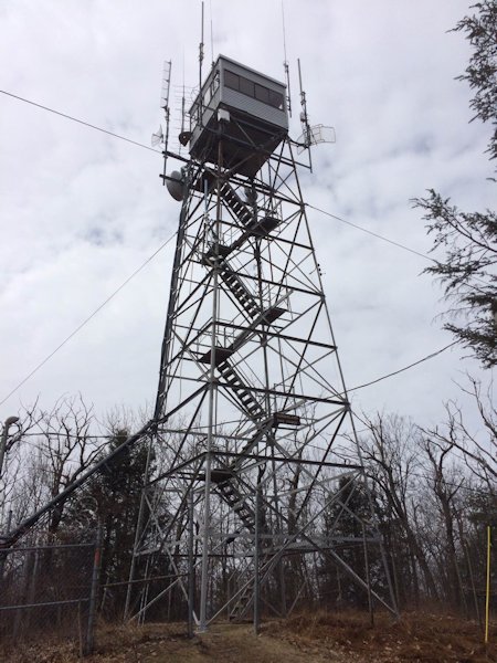
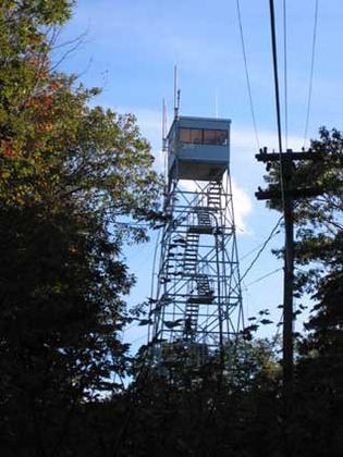
State Tower #33
Sunderland Tower
in 2016
(photo courtesy Jack Kelley)
Town:
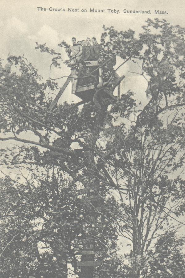
Sunderland County: Franklin Mountain or Hill: Mount Toby Height above sea level: 1269 FT Tower Structure Height: 68 FT Latitude: 42-29-27 Longitude: 72-32-17 First date of operation: Sep 1, 1923 Type: Steel Tower
Later in 1923, a group of women from Sunderland burned down the crow's nest. A 58 FT tower was purchased
by the Massachusetts Agricultural College and erected by the
Forestry Department in the summer of 1923
This tower was destroyed
in the great hurricane of 1938
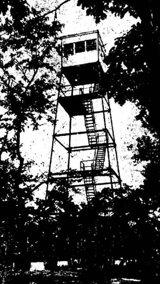
In 1939, a new 68
FT tower is built
In 1947, two-way
radios are installed
The tower erected
in 1939 is also destroyed in a hurricane in 1950