Massachusetts Fire Towers
Agawam Tower
Massachusetts State Tower #36


Agawam Tower in 2016
(photo courtesy Jack Kelley)


Town: Agawam
County: Hampden
Mountain or Hill: Provin Mountain
Height above sea level: 649 FT
Tower Structure Height: 68 FT
Latitude: 42-05-03
Longitude: 72-42-18
First date of operation: Oct 1, 1920
Type: Steel Tower


Other Photos

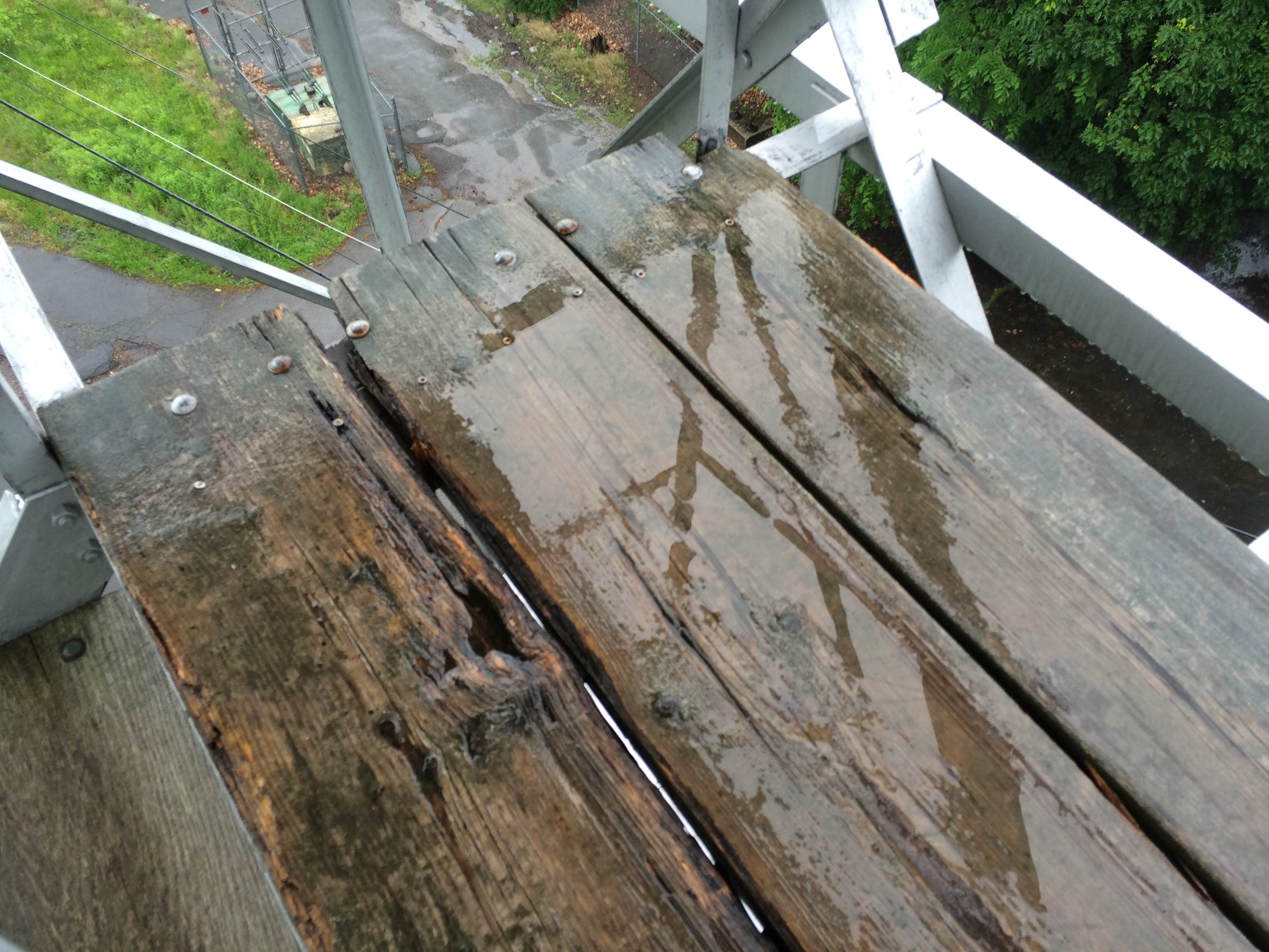
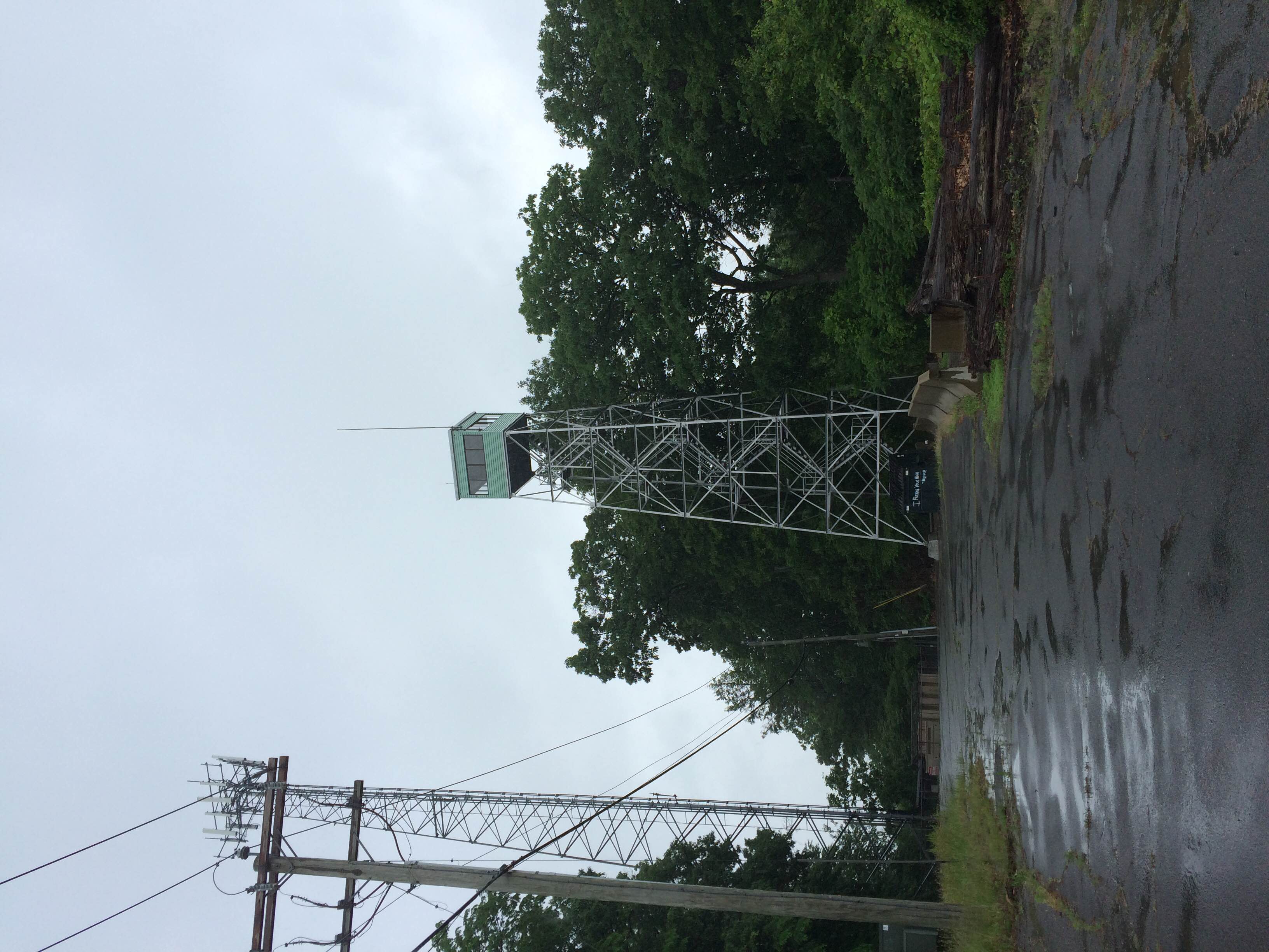
Agawam Tower landing in 2016
(photo courtesy Jack Kelley)

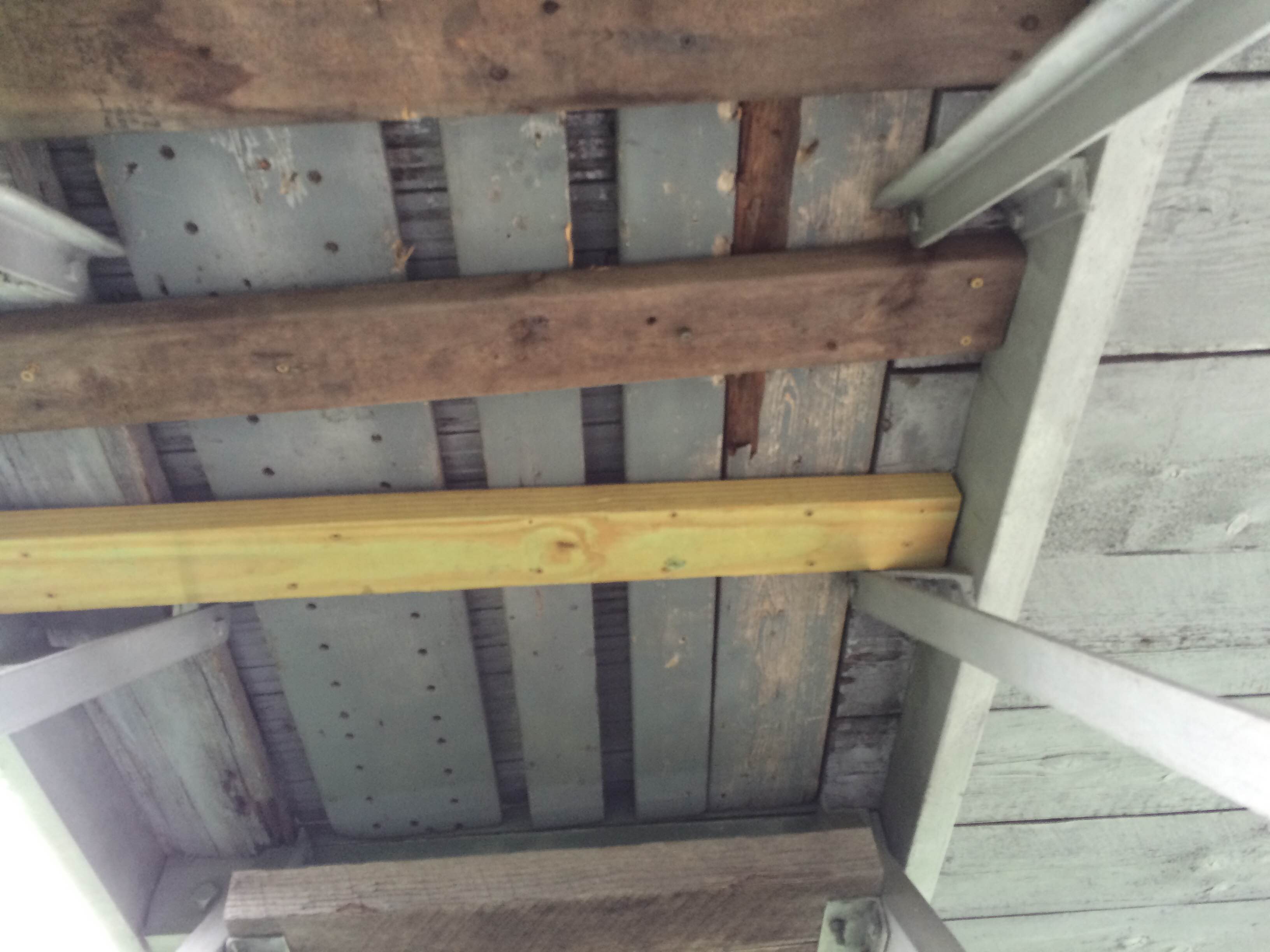
Agawam Tower stairs in 2016
(photo courtesy Jack Kelley)

Agawam Tower door #1 in 2016
(photo courtesy Jack Kelley)

Agawam Tower door #2 in 2016
(photo courtesy Jack Kelley)

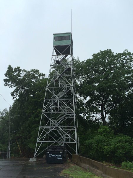
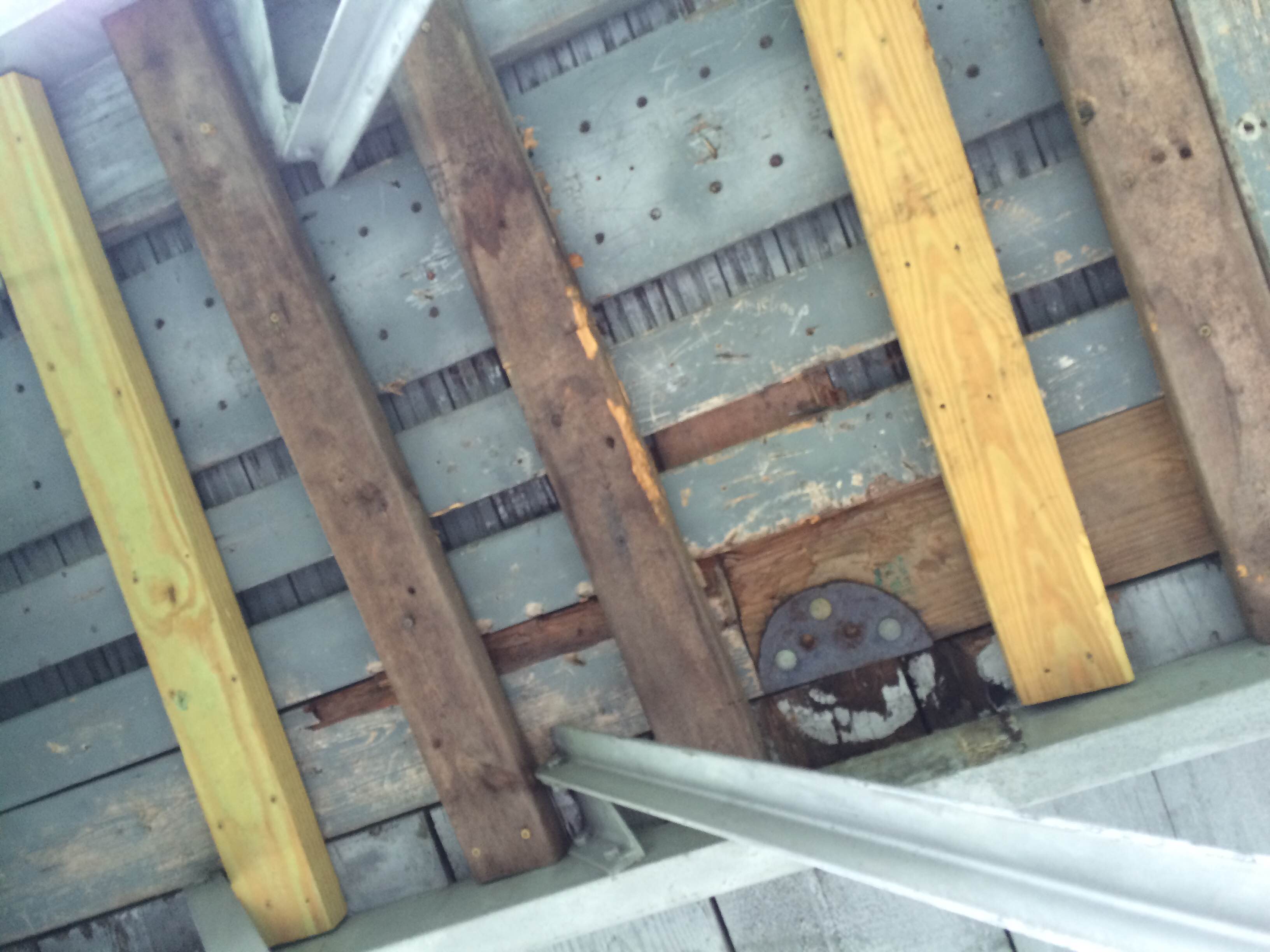
Agawam Tower tower in 2016
(photo courtesy Jack Kelley)

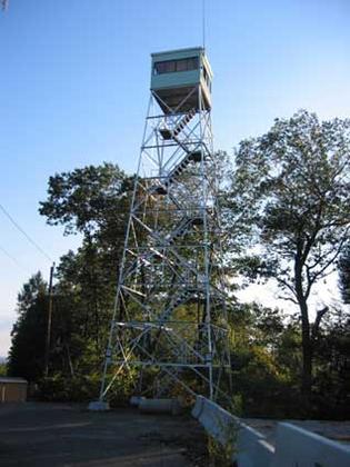
Agawam Tower in the 1990's
(photo courtesy Henry Isenberg)

Notes

  • This is currently NOT an active state tower
  • The original tower was a 48 FT built on land owned by the Springfield Water Company
  • In 1946, a new power line is built to the tower
  • In 1947, two-way radios are installed
  • In 1959, the current 68 FT is built and the old one is sold for one dollar and removed
  • The current tower location is 200 FT south of the original location
  • This tower only ever had a compass as a fire finder.

NOTE: This tower is on private property and it is discouraged to visit without permission.


Return to the Main Page