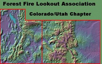
Colorado Lookouts
John and Marilyn Henthorne
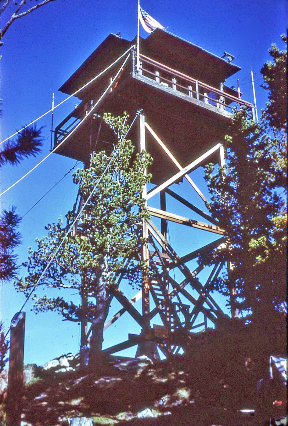
White Pine Lookout in its original location, 1966-67
Lenny Epstein
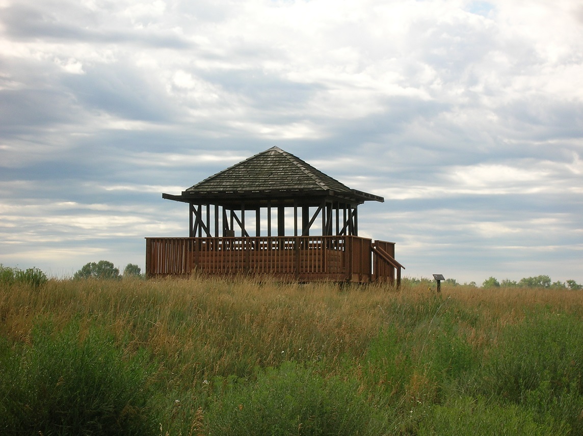
White Pine Lookout at Running Deer Natural Area, Fort Collins, CO, July 2013
White Pine Lookout
Roosevelt National Forest
Elevation: 10305
Status: Removed
Year Built: 1939
Year Removed: 1978
Structure Type: L4
Google Map (original location)
Google Map (current location)
White Pine was the sister lookout to Deadman Mountain to the northwest. It was built by the CCC when Norman Griswold was the District Ranger (1938-1944). While the lumber was carried by hand to the site, some years later the trail was widened to a jeep trail. Frank Koenig, son-in-law of Hugh Ramsey, the first homesteader in Pingree Park, was one of the people who staffed the tower, followed by Henry (Hank) Martin (1941-1943), his son Lowell (Smokey) Martin (1953-1958), Doug and Cathy Hutchinson (1964-1965), and John and Marilyn Henthorne (1966-1967).
Prior to the 1939 tower there was an earlier tower built when Ken Helmick was the District Ranger (1913-1918). Tom Bennett (1879-1959), a homesteader from England, was the primary builder. The Tom Bennett Campground on the Poudre River was named for him, and his homestead is now the site of the Lutheran Church's Sky Camp. This early tower was a tree lookout with a platform and ladder. Because there was a solar eclipse during the time of its construction, it can be deduced that it was likely built in June of 1918. It was staffed only on an as-needed basis.
The lookout cab was removed by helicopter and placed in Lee Martinez City Park in Fort Collins, Colorado on November 4, 1978. Later, it was transferred to Colorado State University's Environmental Learning Center in SE Fort Collins. The Fort Collins Natural Areas staff moved it on August 25, 2011 a half-mile north to the adjacent Running Deer Natural Area where it is a nice destination spot for visitors. The Fort Collins Natural Areas staff stabilized the cab and opened it to the public in 2012. A few ruins remain at the top of West White Pine Mountain.
How to get to the original location: From CO 14 and US 287, take CO 14 west for 13 miles, make a left (south) on Stove Prairie Rd (Rd 27). Continue south for 10 miles to the gravel Buckhorn Rd (Rd 44H), on your right (west). Take Buckhorn Road 12.5 miles to the now closed Buckhorn Ranger Station. A Jeep track (unmarked FR100) heads north from the ranger station, passing a few houses. High clearance 4WD vehicles can make it all the way to the top of West White Pine, but most will have to park a short ways up the road and hike to the site, a 3.1 mile (one way) trek, with 1900 feet of elevation gain.
Visit the Former Fire Lookout Site Register entry for White Pine Lookout.
USFS
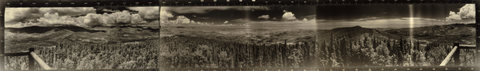
Panoramic photograph taken from White Pine Mountain LO